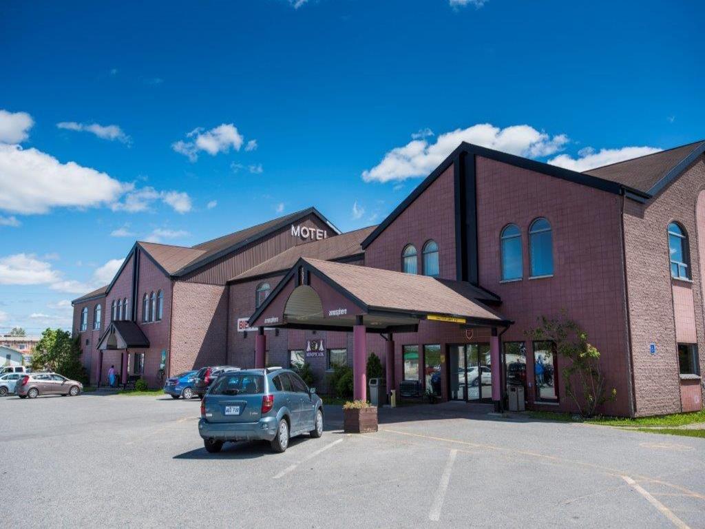
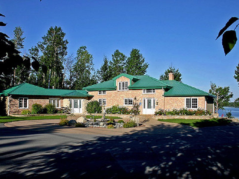
Create your own tour with the help of the interactive trails map, you can quickly plan your route, consult the establishments you want to visit (restaurants, accommodations, attractions, gas stations and more) during your next ride in Abitibi-Témiscamingue.
Refer to the trail conditions to validate whether the trails are open, closed or their general state they are in and thus plan your trips properly. Click on the ❄ icon at the top right to view it.
Notez que cette saison, les sentiers 386 et 63 donnant accès à la réserve faunique La Vérendrye sont réouverts.
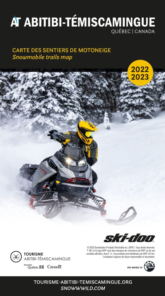
Snowmobile trails map
Pour ceux qui préfèrent les cartes imprimées, il est aussi possible de s’en procurer. Demander votre carte des sentiers de motoneige gratuitement